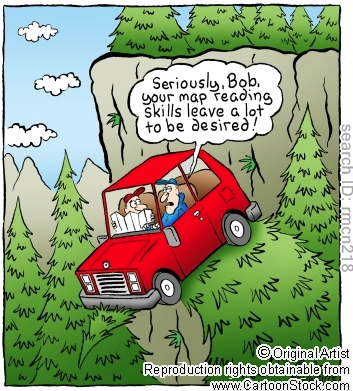
Mapping Skills
“To put a city in a book, to put the world on one sheet of paper -- maps are the most condensed humanized spaces of all...They make the landscape fit indoors, make us masters of sights we can't see and spaces we can't cover.” Robert Harbison, Eccentric Spaces
|
|
|
Understanding Maps
Watch the following videos by Simon King on the importance of maps and how to understand map symbols
|
|
|
|
Exploring map Zone
Mapzone is a brilliant map skills site to visit, with exciting online games, free maps, wallpapers, competitions and a fascinating trivia section, all from Ordnance Survey (the people who make the maps).
During the map skills unit of work and later in your secondary school Geography career, it is a good idea to regularly check back here and try to keep your new found skills up to date.
Check out the homework help section of the map. This will be really useful to you over the course of your work on understanding maps.
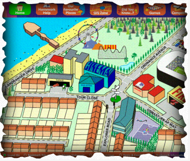
Link to OS map zone
Grid References
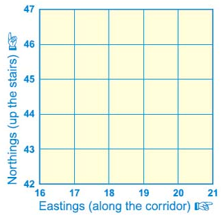
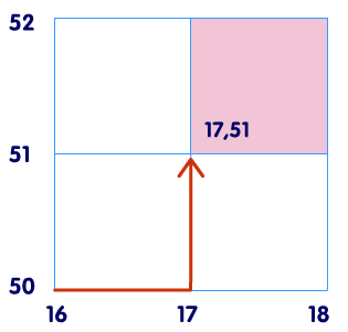
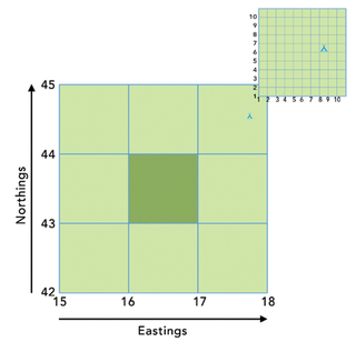
Four Figure references
The two images show you how to read four-figure references. First, read the eastings, then read the northings
The two images show you how to read four-figure references. First, read the eastings, then read the northings
|
|
|
|
|
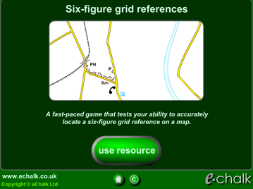
Six-figure References
Six -figure references can be used to locate very specific locations or features on a map. You begin with the four-figure reference but add an imagined grid number after the easting and an imagined grid number after the northing.
For example the six-figure refence for the campsite on the map to the right would be 179446. the 9 and the 6 come form imagined eastings and northings.
e-Chalks
|
|
Measuring Distance and Direction
|
|
|
|
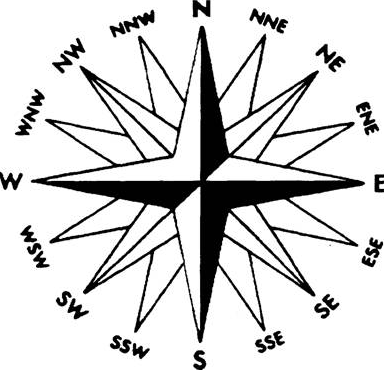
How do we remember the main four points of a compass in order? North East South WestNever Eat Shredded Wheat .... for example For more accuracy you can also use the 16 point compass. |
|
|

|
Contour Lines
Contour lines are used on OS maps to indicate altitude or height. Where contours are close together the land is steep and where the contours are far apart the land is flat. Patterns of wavy contours can indicate a valley.
|
|
|
